Temáticas científicas
¿Por qué es interesante este Punto de Interés?
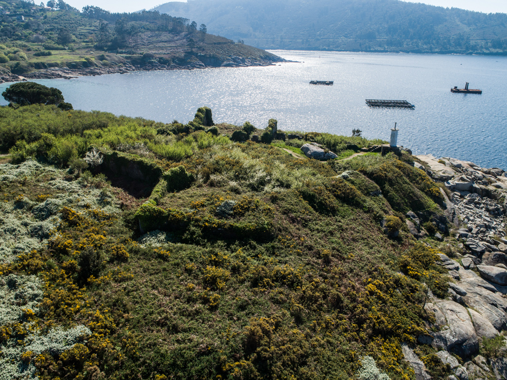
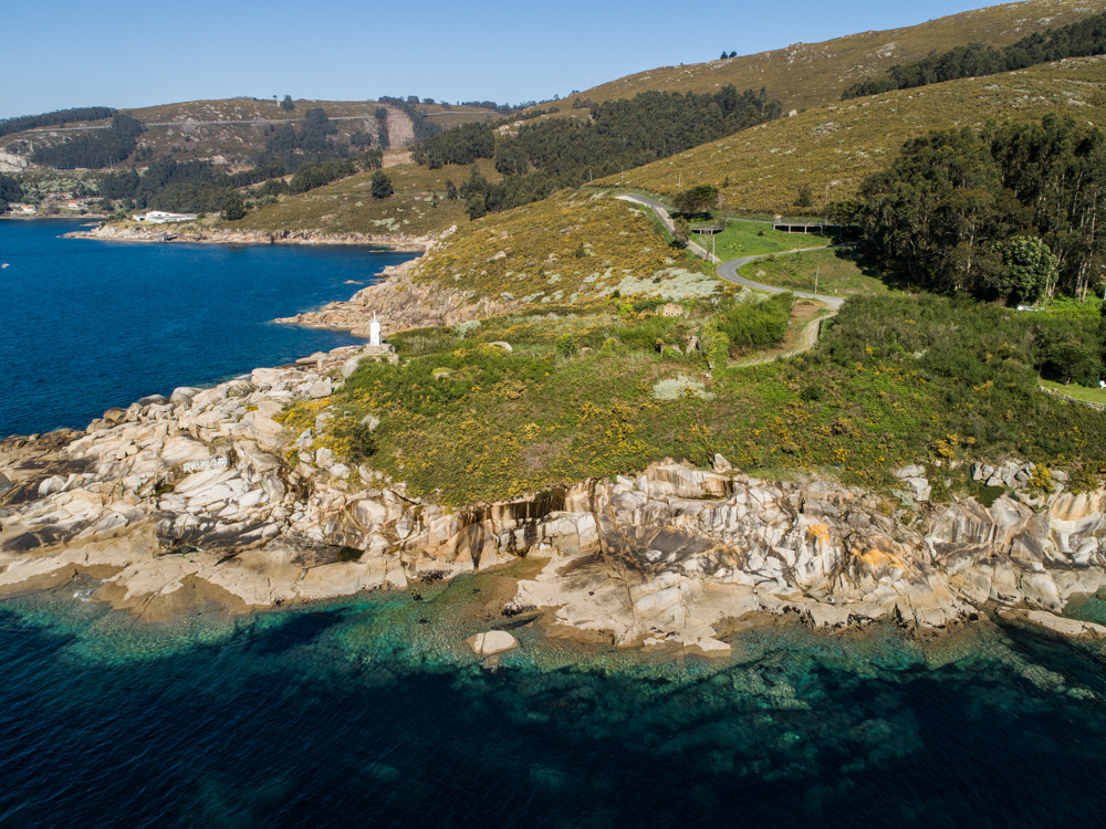
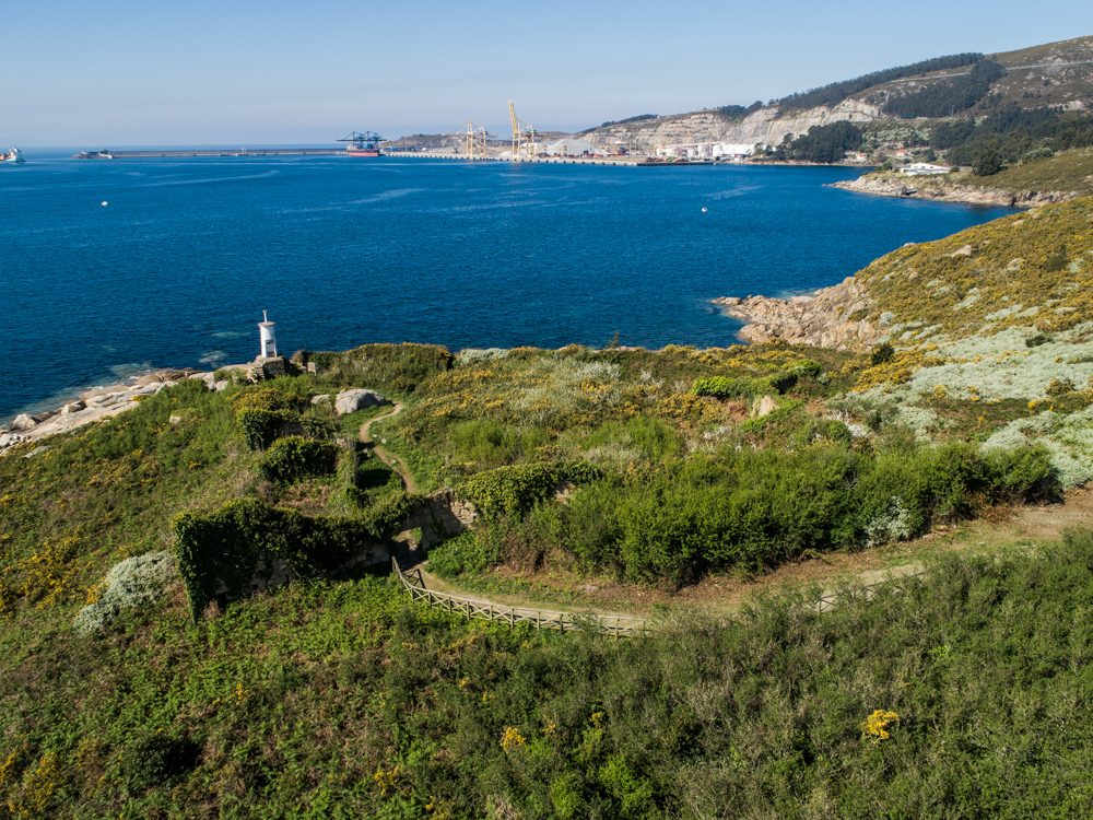
This small front, of which only a few ruins remain, dates from 1739 and is signed by the same military engineers as San Carlos: Juan de Ferriere and Juan Vergel.
The embrasures rise above the sea, still visible, but much of the structure is too deteriorated. The battery had 11: five faced the beach, two faced the sea and the rest covered the flank that runs from Cabo Segaño -which can be seen on the other side of the estuary, just in front- to the tip of Rabo de Porca. Thus, their projectiles crossed shot with the batteries of San Carlos and Cariño, covering the maritime field to the maximum. 24 guns with a range of 2,000 meters were assigned to the battery, but only eight must have been installed.
On the inner side, the land side, the soldiers and officers had their rooms. The broken shape of this line of defense aided in the distribution of the riflemen in case of an attack on foot. The soldiers took cover behind the loopholes in the wall to be able to shoot while protecting themselves from the attack. In the S. In the 18th century, rifles and bayonets became the standard weapon among the infantry, leaving behind the heavy muskets and arquebuses.
To the west of the battery is the powder magazine, with bomb protection. The outer wall that protected it leaves a narrow corridor where you can see some cavities that served as a ventilation system. This structure is the best preserved of the battery.
The fort also had a furnace whose function was to heat the projectiles to the maximum before launching them with a low-charge explosion that caused the bullet to remain embedded in the hull of the boat and burn, causing serious damage. This system is known as a red bullet.
Imágenes
Vídeos
Audioguía
Información al viajero
 Hoteles
 Restaurantes
 Punto de información general a visitantes
 Itinerarios científicos
 Guías y catálogos
 Guías especializados en Turismo Científico
 Sinaléctica
 Público general
 Grupos organizados
 Centros educativos
 Investigadores científicos
 Coche
Coche
 Fotografía científica
 Avistamiento de cetáceos
 Avistamiento de aves
 Observación de estrellas
 Rutas etnográficas
Para saber más
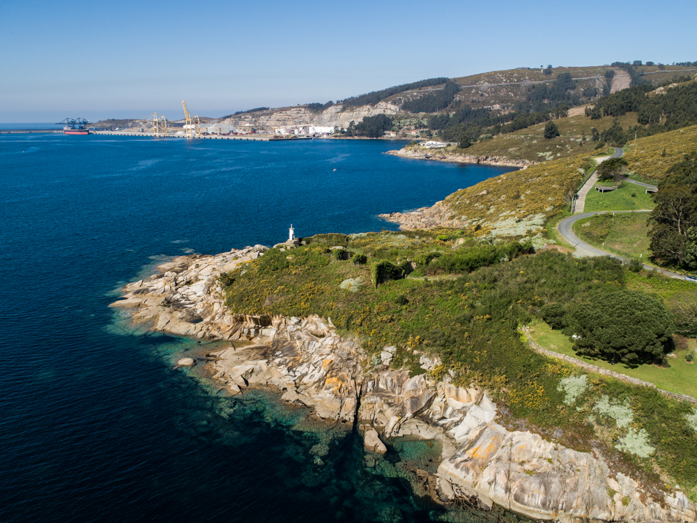
The Cariño cove, at the mouth of the estuary, is presented as a strategic point. In this bay the boats had to wait for the favorable wind to inflate their sails to be able to face the corridor of water that flows into the bottom of the estuary. The cove was therefore an obligatory stop for any ship, including enemies, that wanted to enter the Ferrol port. The defense strategy would be simple with a good set of guns on one side and the other of the estuary. Thus between 1739 and 1770, a series of collateral batteries were projected. On the north face of the estuary were those of San Carlos, San Cristovo, Cariño and Punta de Viñas. All of them today protected under the declaration of Asset of Cultural Interest.
The fortresses of the Cariño cove are all bastioned, following the dictates of this model; However, it is necessary to take into account the intricacy of the terrain, which presents great unevenness, with which the famous stars of Vauban are not so successful.
Bibliografía asociada
- - Guía de Baterías de Costa, José Manuel López Hermida y José Manuel Yáñez Rodríguez. Diputación de A Coruña.
- - Página web del Observatorio del Patrimonio Histórico Español: https://www.ugr.es
- - Revista de Historia Militar, 126 (2019), pp. 62-90. ISSN: 0482-5748.
- - Revista Cultural Columba, 17 (2017), pp 58-76. ISSN: 2444-930X
- - Revista Castillos de España, 160 (2010), pp 43-55.
- - Arquitectura y urbanismo en El Ferrol del siglo XVIII, Alfredo Vigo Trasancos y Xosé M. Gómez Vilasó. Santiago de Compostela: C. O. A. G., 1984. ISBN 84-85665-11-2


 Historia
 Medio Marino
 Arquitectura
 Ingeniería

